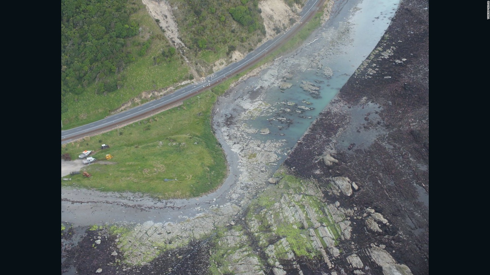
The 7.8-magnitude quake and its aftershocks lifted the seabed six-and-a-half feet when they hit near Kaikōura on the South Island, exposing seaweed-covered rocks and marine life.
And the islands have continued to creep closer to each other since the quake, Sigrún Hreinsdóttir of the GNS Science body told New Zealand news website Stuff.
Cape Campbell, on the northeastern tip of the South Island, is almost 14 inches closer to Wellington, a major city on the southern coast of the North Island, than it was before the quake, she said.
Meanwhile, Kaikōura has moved about six inches east, and the coastal town of Blenheim has shifted northeast by the same distance.
Wellington itself has moved around two inches northeast.
Hreinsdóttir noted that it was difficult to determine which fault was mostly responsible for the movement, saying: "In reality we are having all these creepings going on and the question is, which is the dominant factor?"
GNS Science has monitored geological movements at several sites across New Zealand since the 2016 quake.
That quake dramatically altered the landscape of parts of the South Island and produced 25 fault ruptures, according to the organization, which says it was "one of the most complex earthquakes ever recorded worldwide."
One fault, at Waipapa Bay, caused a vertical displacement of around three feet when it ruptured at a speed of around two miles per second.
The greatest slip occurred on the fault at Kekerengu, which appeared to slip around 30 feet along part of its length, Michael Blanpied, associate coordinator with the USGS Earthquake Hazards Program, said at the time.
The 2016 quakes resulted in the deaths of two people.

No comments:
Post a Comment